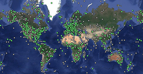
Tracking data
Explore animal movements on our interactive map.
Get started
Are you a researcher, journalist, student or developer? Whether you want to explore what’s here, add your data, or initiate a new project, get headed in the right direction.
News
February 2024 Newsletter
Dear Movebank users,
We hope this year finds you well, and are excited to bring you ...
About us
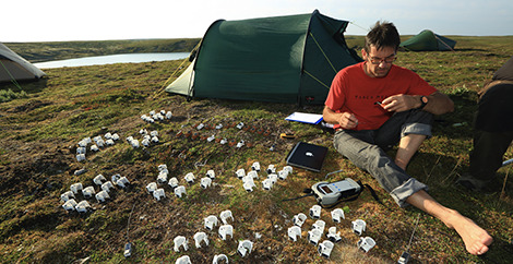
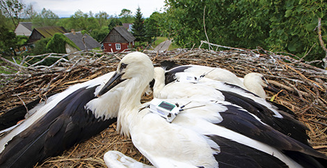
Movebank is a free, online database of animal tracking data hosted by the Max Planck Institute of Animal Behavior. We help animal tracking researchers to manage, share, protect, analyze and archive their data.
- 7.5 billion locations
- 7.4 billion other sensor records
- 8,843 studies
- 1,478 taxa
- 4,577 data owners